It’s a gloomy Saturday in the Okanagan, with rain and snow falling along high mountain passes.
Today’s forecast courtesy of Environment Canada:
In Kelowna expect the rain to persist throughout the day with temperatures reaching a high of 11 C and a southern wind beginning late this morning at 20 km/hr.
In Penticton the skies will be cloudy with showers beginning this morning and a southern wind will begin this morning as well.
In Vernon the gloomy day will continue with rain with a high of 11 C. Expect a windy day that will tamper off late tonight.
In Salmon Arm periods of rain are also expected with a high of 12 C. Tonight will have a 30 per cent chance of showers.
Tonight: Expect a low of -4 C across the valley.
This week: Will have a mix of sun and clouds, but the rain will go away.
Special weather warnings:
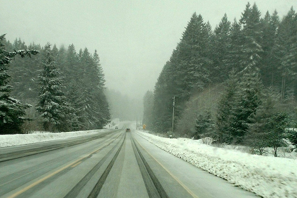
Snowfall warnings are in effect for the Coquihalla Highway from Hope to Kamloops, on the Okanagan Connector from Merritt to Kelowna, Highway 3 from Hope to Princeton via Allison Pass and from Paulson Summit to Kootenay Pass, and along the Trans-Canada Highway from Eagle Pass to Rogers Pass.
READ MORE: As much as 30 centimetres of snow expected along southern B.C. highways
DriveBC is reminding commuters that winter tires remain mandatory along some highways until April 30.
Video of the day:
Entertainment reporter Sydney Morton will give you a rundown of all the weekend events to look out for across the valley.
edit@kelownacapnews.com
Like us on Facebook and follow us on Twitter.