It appears as though it’s going to be colder than usual for the holidays in Penticton.
On Dec. 1, the city had set a national heat record when the temperature reached a mark of 22 C. But things change fast — especially when it comes to the weather.
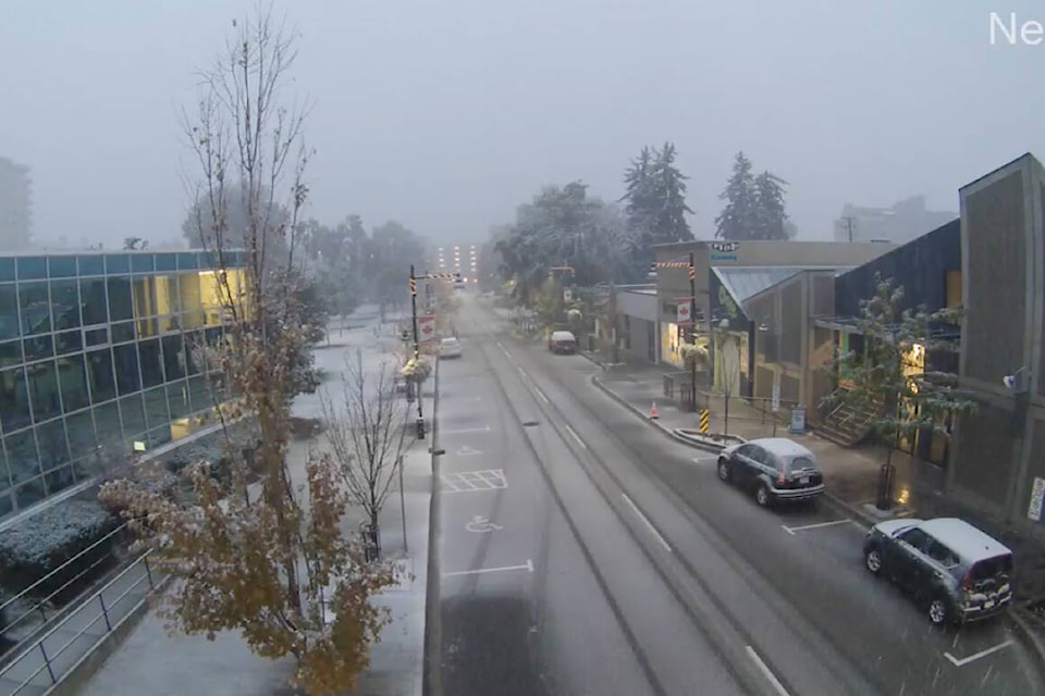
After two days of heavy snowfall in the area shortly following the un-seasonal start of the month, the temperature dropped quickly.
And as Christmas approaches, the cold weather appears to be here to stay — at least for now.
From Dec. 17 until the middle of this year’s Christmas week, Environment Canada is projecting the temperature to reach a high of -4 C to -7 C consistently, with a low of -9 C to -12 C.
On average, the city’s high during the week leading up to Dec. 25 sits at around 1 C.
Environment Canada told the Western News at the start of December that this winter in Penticton will likely fall into the “cold category.”
Penticton’s all-time average low during the week of Christmas is projected to be the city’s “high” during the same period of time in 2021.
A mix of sun and clouds with 60 per cent of flurries is consistent with Environment Canada’s projections for Penticton from Dec. 17-23.
READ MORE: This winter in the Okanagan is the hardest ever to predict, meteorologist says
target="_blank>@lgllockhart
logan.lockhart@pentictonwesternnews.com
Like us on Facebook and follow us on Twitter.