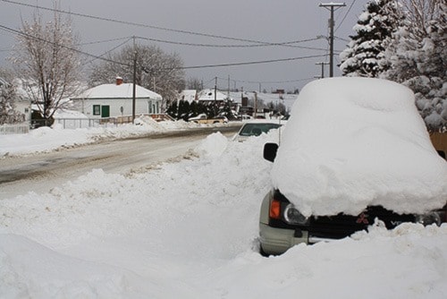
The February 1 snow survey is now complete. Data from 107 snow courses and 53 snow pillows around the province and out-of-province sampling locations, and climate data from Environment Canada, have been used to form the basis for the following reports.
Weather
Stable weather conditions prevailed across British Columbia through January. High pressure ridging in the middle of the month created prolonged dry weather and inverted temperatures, with above freezing temperatures above snowline elevations. Conditions were much drier than normal across the province throughout the month. Temperatures were +1 - 3 oC above normal through most areas of the province.Snowpack
Due to drier conditions, most regions saw below normal snow accumulation and a decline in snow basin indices through the month of January. Snow basin indices ranged from a low of 78 per cent of normal, to a high of 116 per cent.
Snow packs are above normal (>110 per cent) in the Okanagan-Kettle and South Coast regions, and near normal or slightly below normal (85-110 per cent) through the rest of the province.
The Similkameen snowpack is presently at 89 per cent of normal, while the Okanagan is at 116 per cent of normal.
This season has favored neutral El Niño Southern Oscillation (ENSO) conditions, with near normal sea surface temperatures in the equatorial Pacific Ocean. Current forecasts from the Climate Prediction Centre with the U.S. National Weather Service (NOAA) favour neutral conditions into the spring of 2013. This suggests that current ocean conditions favour normal seasonal weather conditions. Current three month seasonal forecasts (February through April) from Environment Canada are fairly neutral, with similar likelihoods of above-normal, below-normal or normal precipitation and temperature. A slight increased likelihood of below normal temperatures is forecast for south-west B.C. Current short-term weather forecasts indicate a period of high pressure across most of the province to the middle of February, and limited snowfall is expected.
By this date, generally about two-thirds of the annual B.C. snowpack has accumulated. While there is still two and a half months left in the snow accumulation season, given current short-term and seasonal outlooks, the current snowpack is not expected to change significantly over the remainder of the season. At this point there are no strong indications of a high likelihood of extreme wet or dry seasonal weather through the rest of the accumulation season.
Normal conditions are expected to persist in other regions. While possible, heavy snow pack accumulation over the remainder of the season is unlikely.
In general snow packs across the province are below levels that were observed last year. Above normal seasonal flow, and the potential for elevated seasonal flood risk, is possible in the Okanagan basin. Above normal seasonal flow is also expected in the Lower Fraser, South Coast and Vancouver Island, however these regions tend to have limited flood potential in the spring, and current snow packs are not expected to have a significant impact on seasonal flood risk. Normal seasonal flow and seasonal flood risk is likely through the rest of the province.
The next snow bulletin will be released on March 7th, 2013.
Produced by: BC River Forecast Centre
