Parts of the Interior are expected to see heavy snowfall over the next 24 hours.
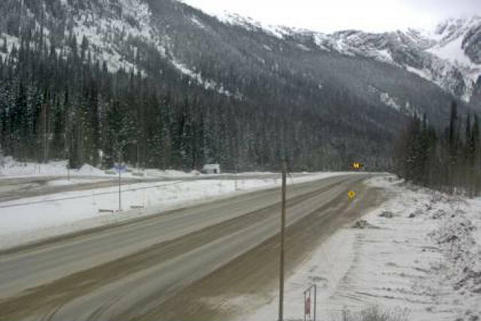
Heavy snowfall is expected to fall in the Cariboo, North Columbia, North Thompson, West Columbia, and Shuswap regions, as well as on the stretch of Highway 1 between Eagle Pass and Rogers Pass.
According to Environment Canada, a Pacific frontal system moving across the Interior will bring light to heavy snowfall tonight (Nov. 21) through Tuesday (Nov. 22). Snow is expected to intensify late tonight and will persist through tomorrow, tapering off into flurries in the evening.
Snow accumulations of 10 to 15 cm are expected in some areas, with reduced visibility due to heavy snowfall.
Environment Canada added that weather in the mountains can change suddenly resulting in hazardous driving conditions.
Visit drivebc.ca for road conditions.
READ MORE: Living wage in Revelstoke increases by 21 % since last year
READ MORE: Revelstoke Grizzlies get a win at home against Beaver Valley Nitehawks
@josh_piercey
josh.piercey@revelstokereview.com
Like us on Facebook and follow us on Twitter.