A rain-soaked Sunday in the Okanagan-Shuswap region is expected to set the tone for the rest of the week and into the Canada-Day long weekend.
The South Okanagan will be getting off easy with warmer temperatures than the rest of the region and some sun expected to peek through the cloud cover. Environment Canada’s forecast states that Penticton can expect a 30 per cent chance of showers this morning, followed by a mix of sun and cloud with a high of 24 C later in the day.
Read More: Vernon and Sicamous cannabis stores get provincial nod
Read More: IN PHOTOS: Salmon Arm legion kicks off Legion Week with open house and barbecue
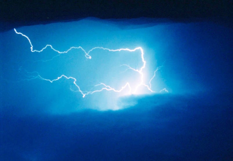
In Kelowna, the temperature will peak at 20 C under unsettled skies bringing with them a 40 per cent chance of showers and a risk of thunderstorms overnight.
The possibility of a thunderstorm and moderate temperatures also extend to the Vernon area where the possibility of showers will rise from 40 to 60 per cent as night falls. There will a risk of thunderstorms for the area beginning late in the afternoon.
Read More: Rock climber dies after fall at Stawamus Chief in Squamish
Read More: Regional district planners tour South Shuswap for new zoning bylaw
In Salmon Arm, a 60 per cent chance of showers is expected with a risk of thunderstorms this afternoon.
Region-wide, overcast skies and periods of rain dominate the forecast throughout the week.
@SalmonArm
jim.elliot@saobserver.net
Like us on Facebook and follow us on Twitter