Above average rainfall so far this year could be telling of a milder wildfire season, according to an Environment Canada meteorologist.
Compared to last year, which saw about 60 per cent of average rainfall, rainfall this year in the Okanagan-Shuswap region has been plentiful.
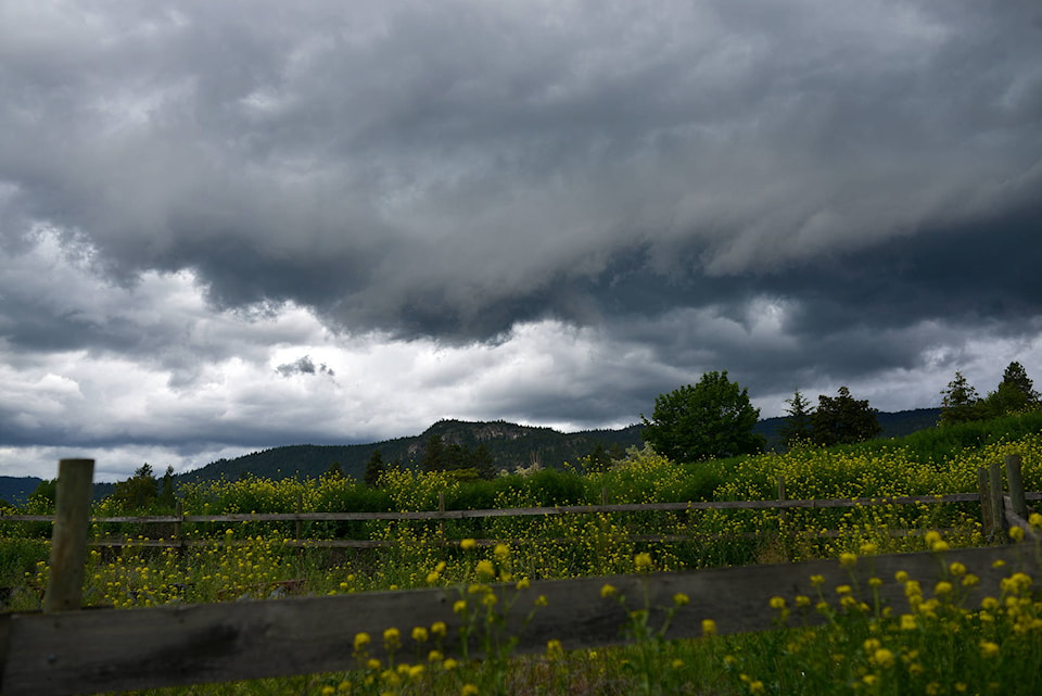
As of June 17, rainfall levels already reached the average amount for the entire month. Since then, more rain has come, and Environment Canada anticipates more rainfall before the end of the month.
“It’s certainly looking like a wetter than average month for the Okanagan-Shuswap area,” said Environment Canada meteorologist, Bobby Sekhon.
Last year, Sekhon explained, B.C. was locked into a ridge of high pressure which brought with it a warm and dry May and June. This is a stark contrast to this year’s patterns. Meteorologists have observed upper level lows sitting off the coast of B.C., which sometimes make their way through the province and deliver showers.
Sekhon said this is good news for the forest fire situation.
“We really do rely on these June rains to bring up that moisture in the area… to set the tone for summer. If we do get enough rain, then hopefully that will keep the forest fires at bay.”
June is by far the wettest month on average for the Okanagan-Shuswap, especially Penticton.
READ MORE: Okanagan-Similkameen district warns of high lake levels
The region was also hit with heavy snowfall during the winter season, but Sekhon said timely rainfall in the early summer is especially important in the prevention of forest fires.
Heavy snowfall paired with a hot, dry spring can lead to mass flooding, so a more severe winter followed by cooler temperatures and timely rainfall in the spring is more favourable in preventing fires. This year, some warm weather in April and May allowed snow to melt, causing some flooding which affected some properties in the region. However Sekhon said it could have been worse.
“It didn’t cause catastrophic flooding, thankfully. Definitely some communities were quite affected by flooding and land slides, and certainly (that is) quite unfortunate and our hearts go out to those people for sure. But it certainly could have been a lot worse for the widespread areas of B.C. as well.”
Around the corner, Okanagan-Shuswap residents can expect a mixture of sunny and rainy days.
Monday, June 22 is set to be dry and warm. Tuesday however is set to bring with it showers and a risk of thunderstorms. This is set to carry into Wednesday, but Thursday and Friday are expected to be dry. Friday evening however, an incoming trough, or system of low atmospheric pressure is expected to make for an unsettled weekend.
READ MORE: Crews rescue disoriented hiker from Brent Mountain area
READ MORE: Travel will have to wait, despite calls from Canada’s business leaders: Trudeau
@PentictonNews
editor@pentictonwesternnews.com
Like us on Facebook and follow us on Twitter.