Hazardous winter conditions are expected across the Okanagan and Shuswap today, according to Environment Canada.
“A moist Pacific frontal system will bring heavy snow to the southwestern interior. The snow will intensify later this morning and will ease Wednesday morning,” reads the alert.
RELATED: CITY READY FOR BIG SNOWFALL
General snowfall accumulation of 20 to 25 cm is expected in Merritt and Kelowna while near Westbank and Peachland, snowfall totals could reach 35 cm by Wednesday morning.
Meteorologists report a deepening Pacific low pressure system will track across northern Washington state.
“This system will combine plentiful moisture with cool northerly winds near the surface,” according Environment Canada. “The result will be heavy snow continuing through Wednesday morning for most communities in the southwestern interior and Kootenays.”
Winter Storm warnings are in effect now for the Nicola, Central Okanagan, Boundary, West Kootenay and Elk Valley.
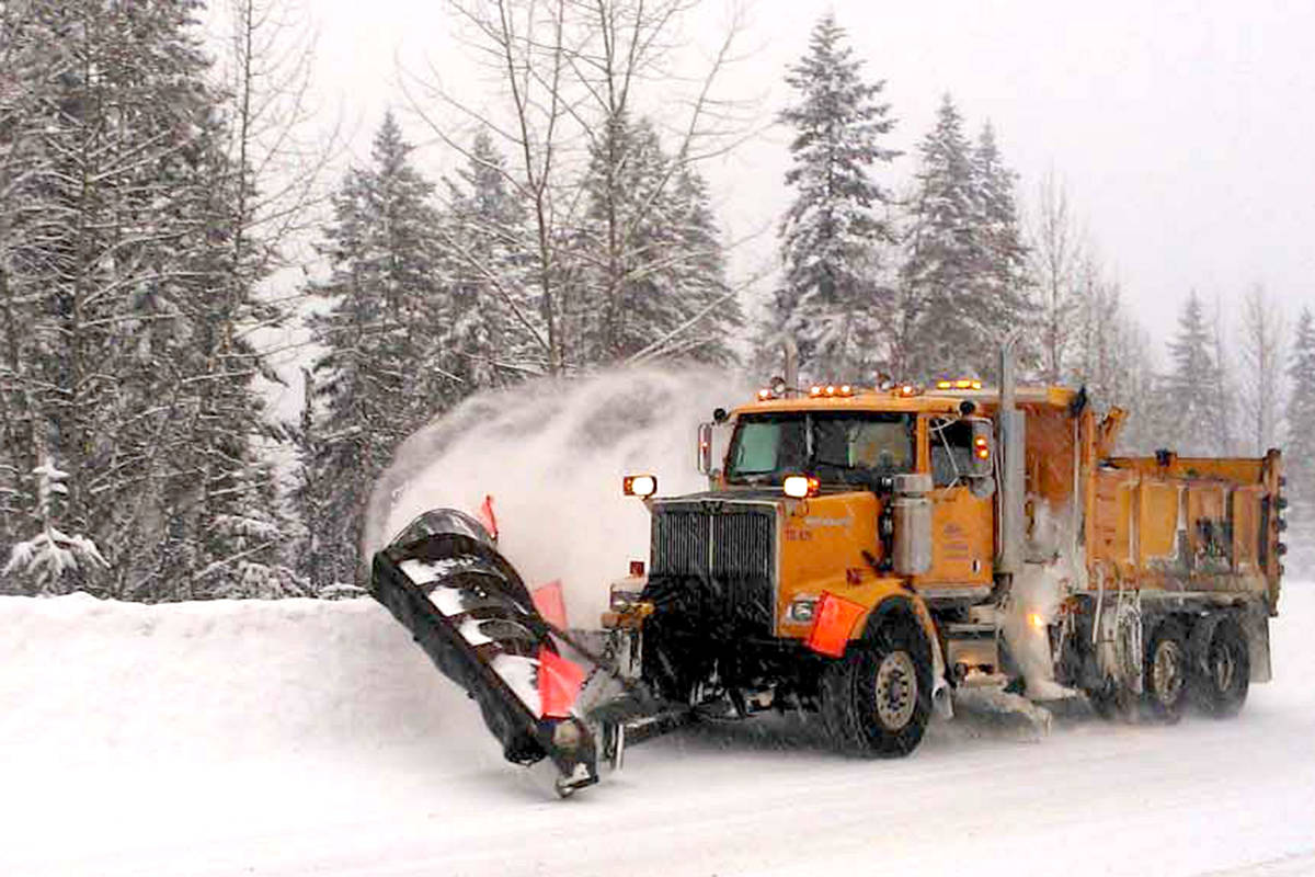
Related: B.C. Interior highways treacherous
A break in the weather is forecast later Wednesday before an Arctic front sweeps through on Thursday.
The Arctic front will bring a few flurries and, more noticeably, colder air to the Southern Interior for the rest of the week.
And here's a look at our weather station atop #Coquihalla #BCHwy5. Snowing heavily, likely upwards of 40CMS today. The @BCRCMP said it best: If you don't need to, DON'T!! #DriveBC #ShiftIntoWinter or rather #ShiftIntoACoffeeShop #BCstorm pic.twitter.com/DbvJUWZAop
— ECCC Weather BC (@ECCCWeatherBC) December 19, 2017
This, of course, means highway travel could be treacherous. There are warnings in effect for:
- Coquihalla Highway - Hope to Merritt
- Coquihalla Highway - Merritt to Kamloops
- Highway 3 - Hope to Princeton via Allison Pass
- Highway 3 - Paulson Summit to Kootenay Pass
- Okanagan Connector - Merritt to Kelowna
25-40cms of snow possible on Tuesday for the High Mountain Passes including #BCHwy5 #Coquihalla #BCHwy97C #OkanaganConnector #BCHwy3 #AllisonPass and #KootenayPass Please consider delaying travel plans until Thursday and be sure to check @DriveBC before you leave #BCstorm pic.twitter.com/UdvSkewAa8
— ECCC Weather BC (@ECCCWeatherBC) December 18, 2017
Environment Canada recommends considering postponing non-essential travel until conditions improve. Surfaces such as highways, roads, walkways and parking lots may become difficult to navigate due to accumulating snow. Take extra care when walking or driving in affected areas.
Please continue to monitor alerts and forecasts issued by Environment Canada. To report severe weather, send an email to ec.tempetepacifique-pacificstorm.ec@canada.ca or tweet reports using #BCStorm.
For more information on driving in winter conditions, click here.
For up to date details on highway conditions and road closures check DriveBC.
You can also monitor Environment Canada for alerts, warnings and updated forecasts.
Send your best news tips, photos and video by hovering over the Home tab and clicking Contact Us.
To report a typo, email:
newstips@kelownacapnews.com.
@KelownaCapNews
newstips@kelownacapnews.com
Like us on Facebook and follow us on Twitter.